The Earth’s Massive Wrinkle
The Waterpocket Fold, Capitol Reef National Park, Utah
Photos by Forrest and Donna Anderson
Talk about old. A giant wrinkle in central Utah is one of North America’s most ancient historical sites, in which hundreds of millions of years of history is preserved along a stretch of about 100 miles.
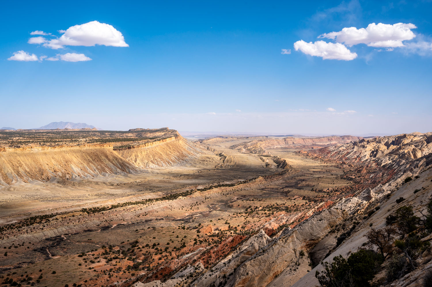
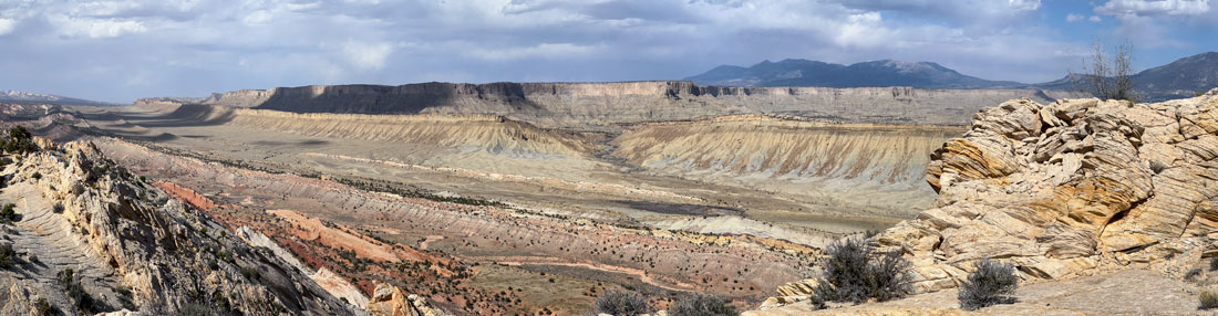
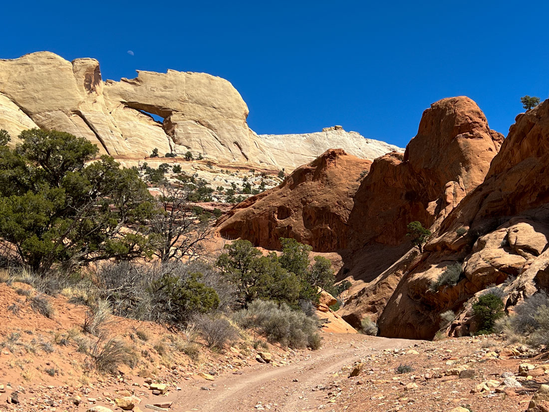
This defining geological feature of Capitol Reef National Park is a steep fold in a series of geological layers. The longest exposed monocline on the continent, the fold is 7,000 feet higher on the west than on the eastern side. Called the Waterpocket Fold, it contains dramatic canyons, arches, natural bridges, and environments ranging from a green oasis to barren hills on which nothing grows.
The history of the fold began a mind-boggling 270 million years ago, when sediments settled to the bottom of an ocean that covered the area. These formed what became the fold’s base layer of sandstone and limestone, composed of both organic materials and grain-sized rocks. Between 270 million and 80 million years ago, some 10,000 feet of sedimentary rock were deposited in these layers.
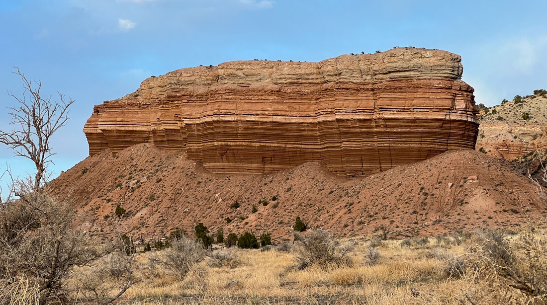
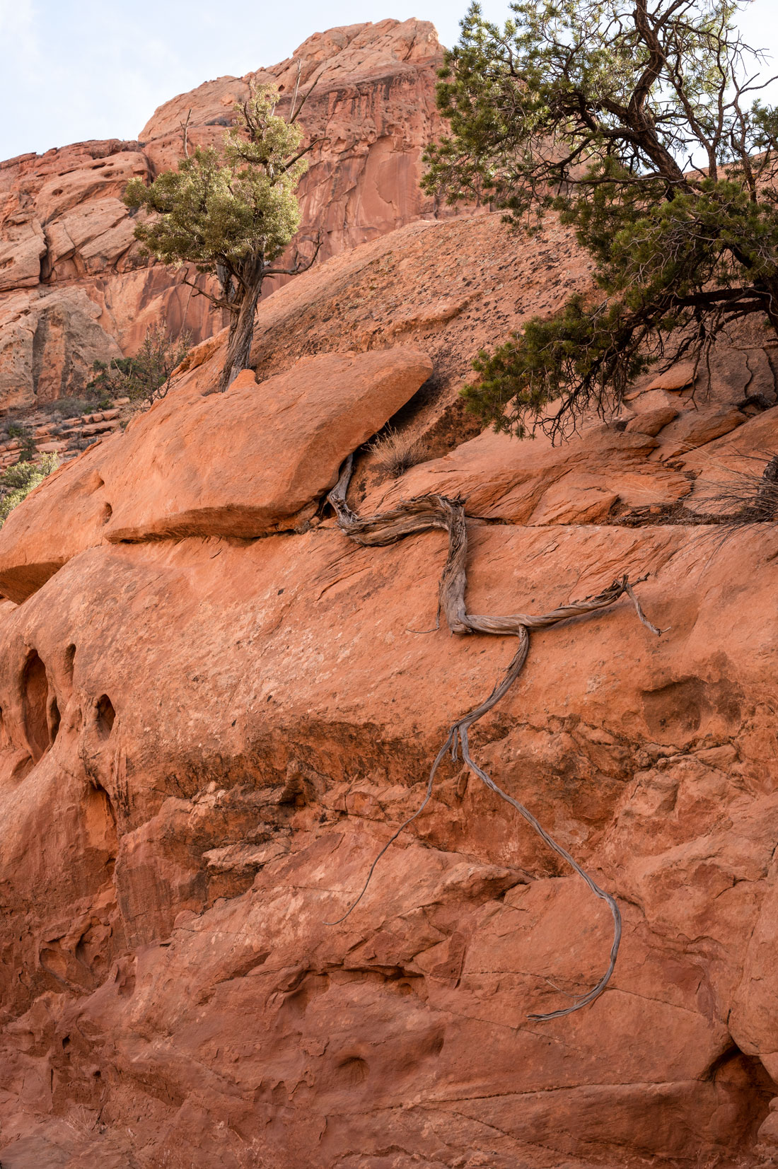
This rock formation exposes layers of sediment, remnants of millions of years of sediments stacking up.
Some 245 million years ago, Capitol Reef was beachside property with sandy beaches and tidal flats. The water made ripple marks in the sand that still can be seen in the rocks today.
By 225 million years ago, the tidal flats were gone, leaving in their place a tropical jungle with swamps, trees, and giant ferns growing in the humid air. During this time, oxygen-rich river water oxidized iron in sediments. We can see this effect today in the lavender and red colors of the rocks in one of the layers, the Chinle Formation. Green and gray rocks are the remains of stagnant bogs.
Some of the layers were once at or near sea level, far below their elevation now. Trapped within the layers are the remnants of the shallow ocean, rivers, swamps, deserts, and prehistoric creatures that lived in those environments.
Along came dinosaurs during the period between 250 million-70 million years ago. Throughout the age of the dinosaurs, more layers of sediment piled up and created a layer cake of history in which fish imprints and tetrapod swim tracks remain in the rocks.
Some 180 million years ago, when a layer called Navajo Sandstone was deposited, the area was a giant sea of sand, the largest in the history of the Earth. The climate was hot and dry, and wind blew over the sand dunes and created sweeping landscapes now preserved in the rock layers.
At some periods, volcanic ash from eruptions fell on the area. Because it was porous, it was filled by other sediments.
Between 80 million-35 million years ago, the earth turned to building mountains by shifting an ancient buried fault line under the layers that is now called the Laramide Orogeny. This is the same fault line that created the Rocky Mountains. The region was uplifted thousands of feet by the movement of tectonic plates. Most of the Colorado Plateau uplifted fairly evenly so that the layers remained horizontal. However, Capitol Reef is a major exception because when the fault moved, the Waterpocket Fold began to form as rock pushed up. The east side of the fold is tilted 7,000 feet above the west side.
When the fault moved, the rock layers over it were draped above the fault and formed a monocline. As a result, older rocks can be found in the western part of the park and younger ones near the eastern boundary.
Layers at the lower level were compressed and crumbled by the weight of the upper layers so that the top layers folded over the compression, making the bend in the rock layers so that they are no longer horizontal.
From there, water erosion and gravity began to carve the exposed rock layers.
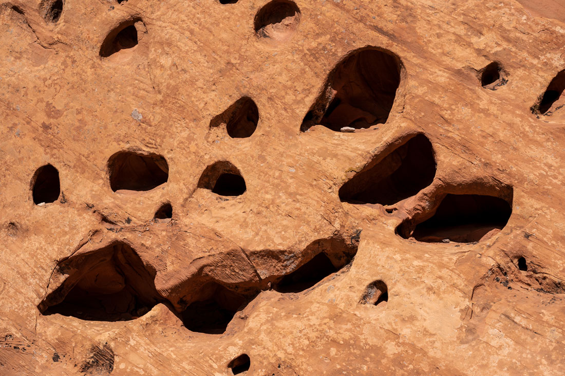
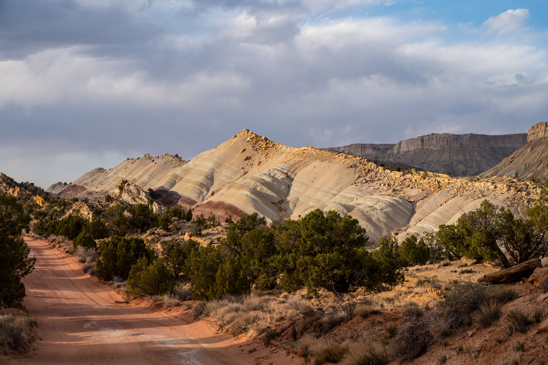
About 15 million years ago, other uplift along the Colorado Plateau and erosion from water exposed the tilted sandstone layers, of which there are 19. Because some of the layers were made of softer rock that eroded more readily, the erosion carved the spectacular cliffs, domes, canyons, arches, and monoliths as well as the waterpocket formations that eventually gave the Waterpocket Fold its name. The waterpockets are basins formed by the combination of the fold depression, uplifting layers, and erosion.
Peekaboo Arch and waterpocket formations.
Most of the major canyon carving occurred between 1 and 6 million years ago.
The Waterpocket Fold’s spectacular scenery reflects different degrees of resistance to erosion of each of the rock layers that make up the fold. About 1.8 million years ago during the last ice ages, water further eroded rock, exposed ancient fossils, and created jagged cliffs where stone broke off and tumbled down.
The Chinle Formation reveals ancient swamps and rivers, the Navajo Sandstone Sahara-like deserts, and the Mancos Shale shallow ocean.
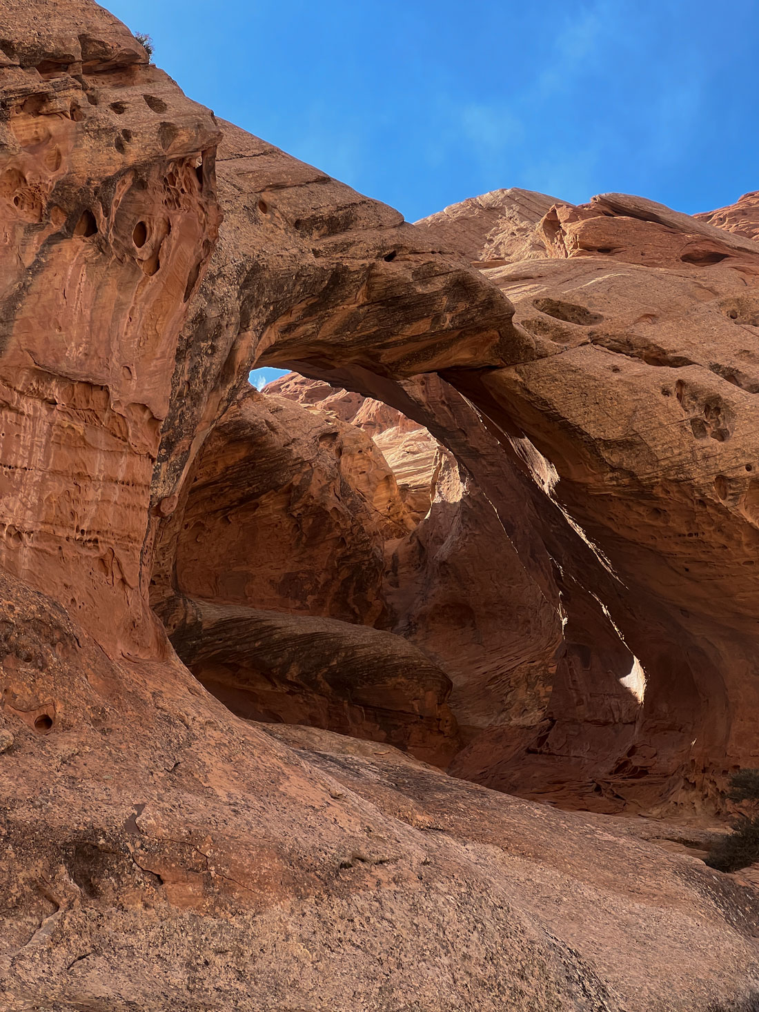
An arch created by erosion and, below, waterpockets.
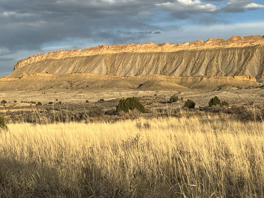
Red and white sandstone layers, which are harder, form cliffs while softer stones form slopes and hills. Some of the slopes are barren because they are made of bentonitic clays in which plants won’t grow well.
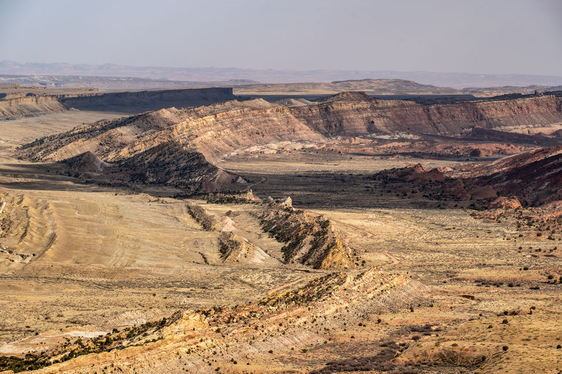
A striking feature of the park is large black boulders scattered through the Fremont River valley and in some other drainages. These are volcanic rocks from 20 million to 30 million-year-old lava flows that cap Boulder Mountain and Thousand Lake Mountain. These boulders were carried down to lower elevations by small mountain glaciers, landslides, debris flows, and possibly stream outwash.
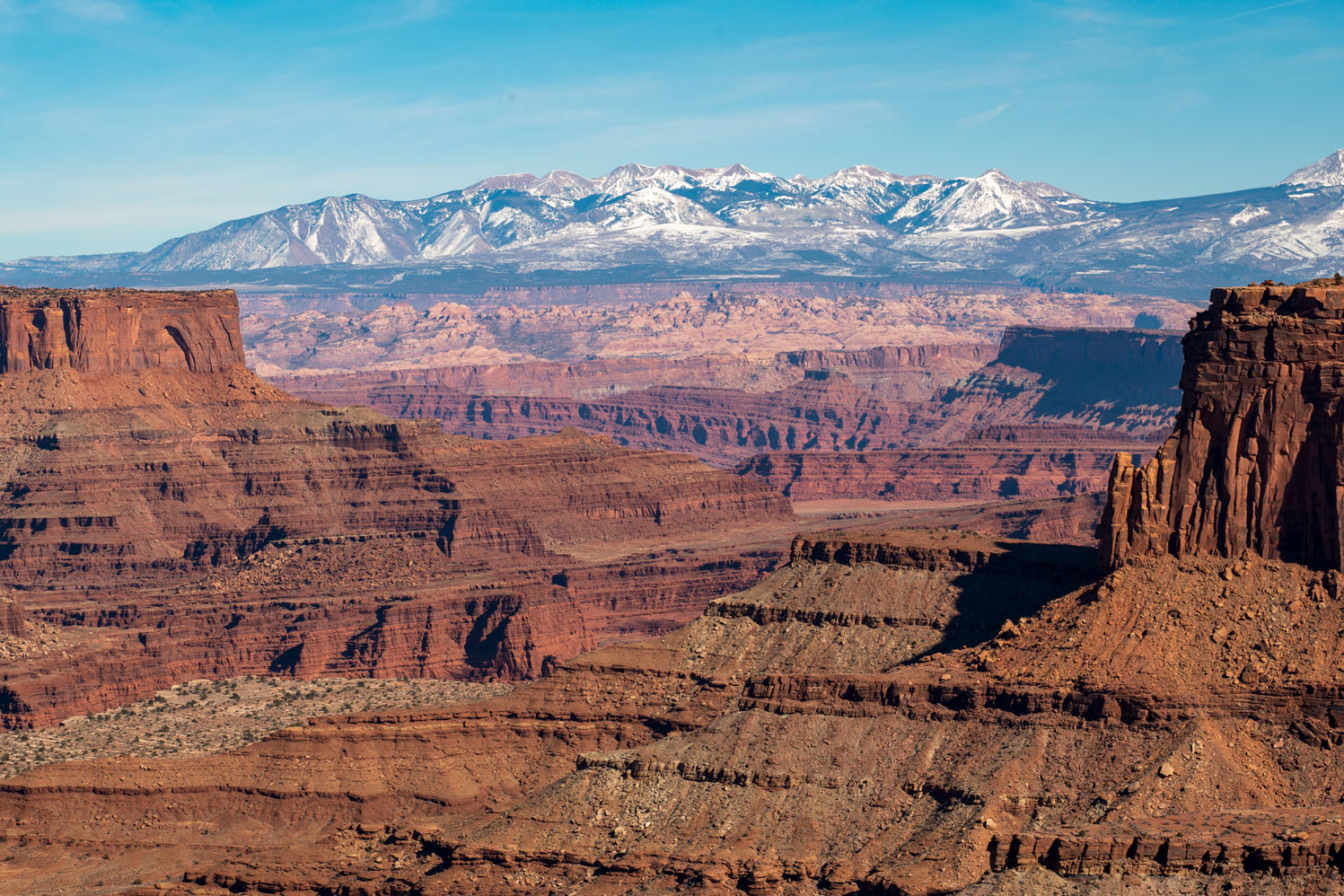
The Waterpocket Fold runs north and south from a mountain called Thousand Lake Mountain to Lake Powell in southern Utah.
Capitol Reef is called “capitol” for the white Navajo Sandstone domes that resemble the domes of a capitol building and “reef” because the rocky cliffs are a barrier like an ocean reef.
In Cathedral Valley in the park, the rock layers gently inclined three to five degrees to the east, so they appear to be almost horizontal. Deep erosion has carved the free-standing red Entrada Sandstone monoliths in the valley that look like the ruins of ancient temples. They are remnants of sandy mud deposited on a tidal flat. Some have caps of a layer of greenish gray marine sandstone called the Curtis Formation.
The park has two formations caused by the flowing and dissolving of gypsum, a soluble mineral from a formation called the Carmel Formation. One of them, an exposed plug of gypsum, is called the Glass Mountain. The other, the Gypsum Sinkhole, formed when a gypsum deposit dissolved. Dikes and sills, igneous rock and small volcanic plugs in Upper Cathedral Valley formed during volcanic activity three million-six million years ago.
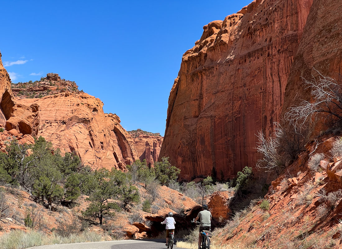
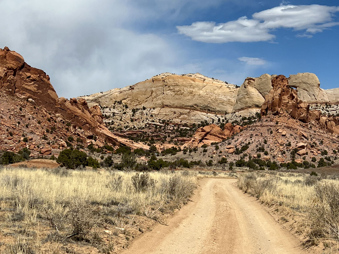
Waterpocket Fold can be observed along Scenic Highway 24 that runs through the park, but the only road that is parallel to the Waterpocket Fold is Notom-Bullfrog Road. This mostly unpaved road winds through the fold for more than 60 miles, providing access to the scenery in the southern section of the park. The road is good enough under normal conditions to navigate without a four-wheel drive. It can be accessed from the unpaved Burr Trail switchbacks that enter the fold.
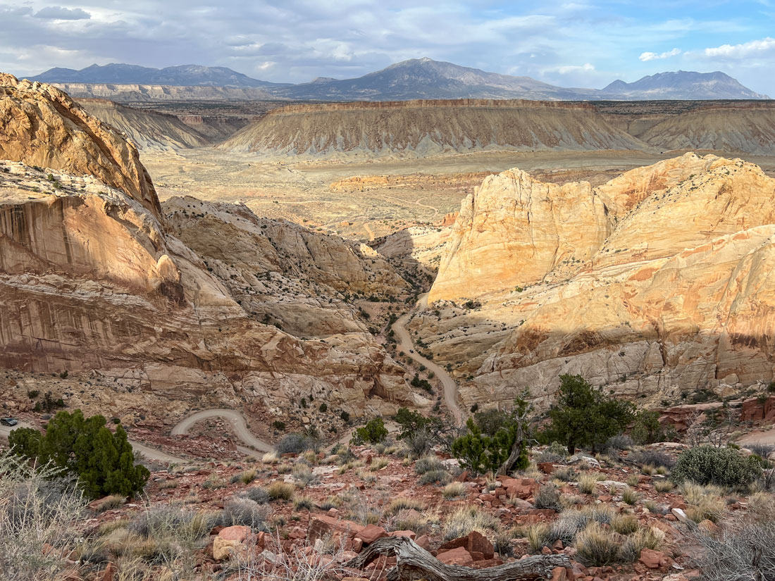
The Burr Trail switchbacks leading down into the Waterpocket Fold. Along the road are trails which begin as open washes and narrow into slot canyons.
Capital Reef National Park often gets overlooked as people flock to Zion, Arches, and Canyonlands National Parks, but Capitol Reef’s scenery is just as stunning, and 1.2 million people still visit the park annually.
The park’s boundaries were created in 1937 to encompass most of Waterpocket Fold.
One of the park’s most interesting characteristics is its varied environments – forested slopes on Thousand Lake Mountain, a green oasis around the settlement of Fruita, barren Bentonite hills, and the dramatic fold with its cliffs and deep canyons.
Check out these related items
How Mountains Move
Mountains grow, shrink and change shape both slowly and suddenly, and human behavior is changing them in alarming ways.
For the Love of Arches
Arches National Park in southeastern Utah is being loved to death, and the park service is scrambling to manage the attention.
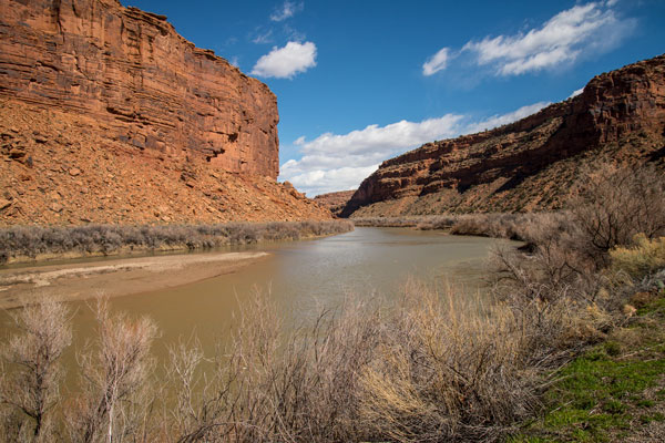
The River That Keeps on Giving
The mammoth Colorado River is the lifeblood of the southwest United States, supplying water and power for cities and agriculture.
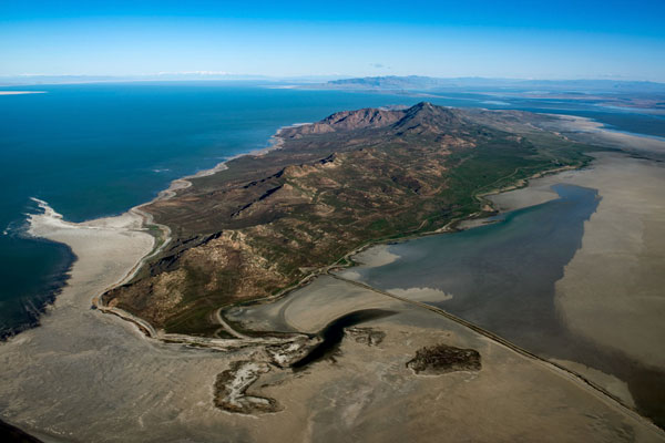
Saving the Great Salt Lake
The Great Salt Lake, along with other saline lakes worldwide, is drying out. Preserving and restoring won't come cheap.
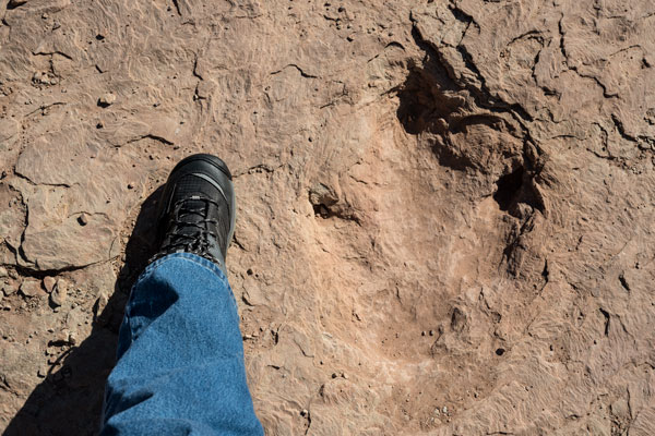
Tracking Dinosaurs in the Wild
With a pandemic raging and snarled air traffic, it's a perfect time to head into the past and the wild to track dinosaurs.