The World’s Glaciers
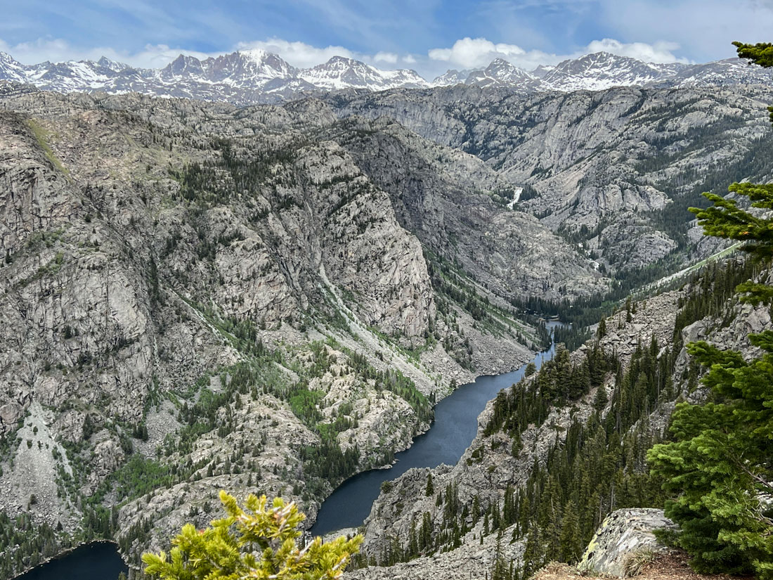
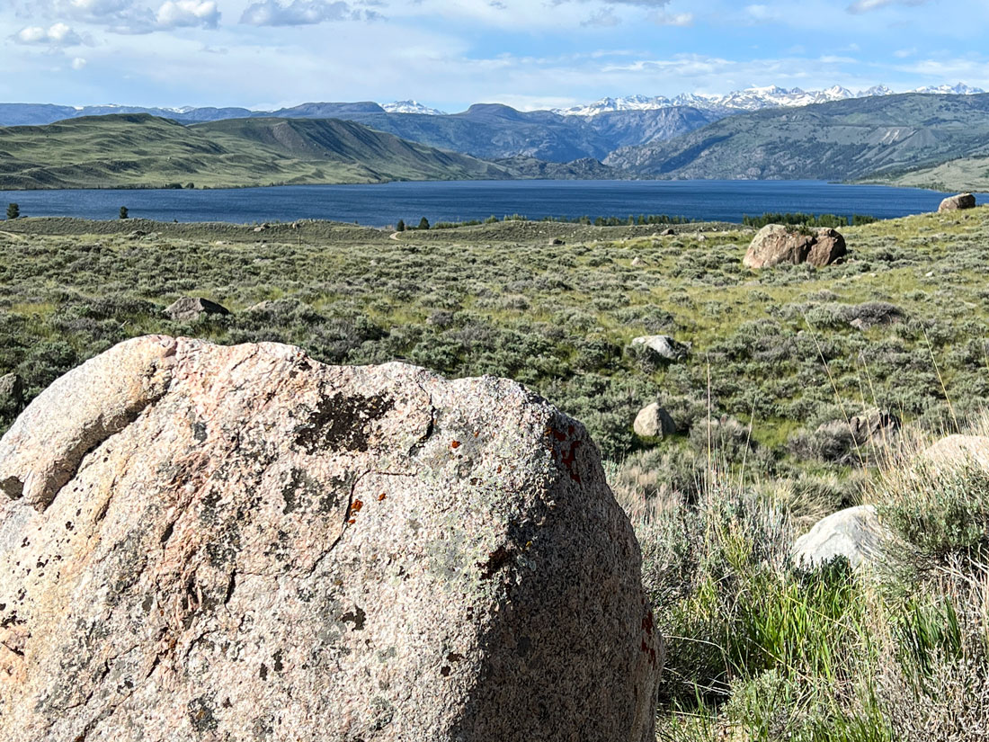
Glaciers on the Wind River mountains of Wyoming feed meltwater into glacier lakes far below.
Photos by Forrest and Donna Anderson
Amid the steady drumbeat of climate change-related news, the melting of glaciers worldwide because of global warming looms large.
Glaciers are at the forefront of environmental news because their advances and retreats are a key way in which scientists measure climate change, and because their melting has a significant effect on sea level rise and coastal events such as hurricanes and typhoons.
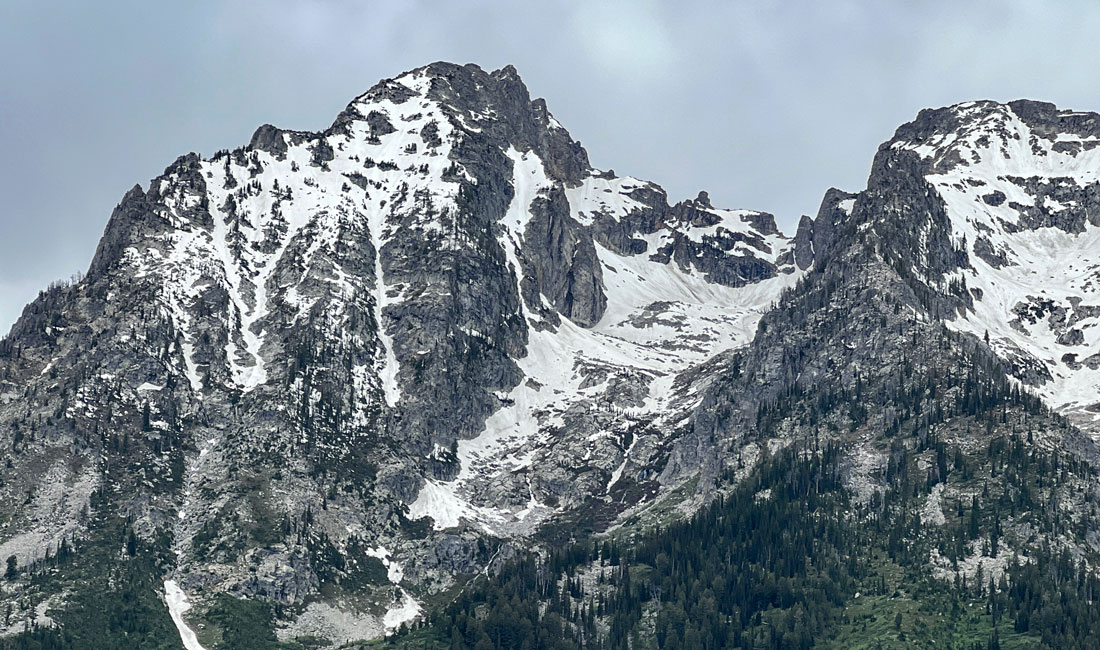
A glacier in Teton National Park, Wyoming.
In the last couple of weeks, at least seven people died, eight were injured, and 14 were missing after part of a glacier in the Dolomites in Italy collapsed on them while they were climbing. The collapse in the Marmolada mountains came after record high temperatures for several weeks. The glacier has been shrinking and was projected by a 2019 Italian study to disappear within 25-30 years,
Another study released last month indicated that Antartica’s Thwaites Glacier is melting at the fastest rate in 5,500 years and could raise global sea levels by up to 11 feet. The glacier has been nicknamed the Doomsday Glacier.
The study by researchers from the University of Maine and the British Antarctic Survey concluded that the 13,100-foot-thick glacier is retreating because the ocean is warming. It is believed to be unstable because its interior is more than 1.2 miles below sea level. Its collapse would raise the global sea level by as much as 11 feet.
The Thwaites and Pine Island glaciers are part of the West Atlantic Ice Sheet, which has been thinning because of rising temperatures. The Thwaites Glacier covers 74,000 square miles, about the same size as Great Britain, and the Pine Island Glacier is about the size of Florida. If they both melt, they could cause huge rises in global sea levels.
Temperatures in the Arctic are rising faster than anywhere else in the world, causing glacier melt. In Greenland, small glaciers are melting particularly rapidly. They are just four percent of Greenland’s ice-covered areas, but they are contributing as much as 11 percent of total ice loss from Greenland’s ice covered areas. They are not only melting faster than larger glaciers, but are melting at twice the annual rate they did 15 years ago. There are 20,300 such peripheral glaciers.
The tourism department in Nepal has discussed shifting the Mt. Everest base camp because it is on the Khumbu glacier, which is rapidly thinning because of climate change and becoming unsafe. Some 1,500 people gather at the base camp each climbing season.
Researchers in Nepal warned this year that the highest glacier atop Mount Everest could be gone by the middle of the century. The disappearance of glaciers could pose significant problems for South Asia, as Himalayan glaciers contribute significantly to water resources for the area. On Mount Everest, the ice in the South Cole glacier is thinning at a rate of almost two meters per year.
These glaciers aren’t alone. Some of the 26 named glaciers in Glacier National Park have diminished by as much as 80 percent compared to the 150 glaciers that were mapped in the park in 1850. At the current rate of melting, the last glacier could disappear by 2030.
Where are the World’s Glaciers?
Glaciers cover nearly 10 percent of the Earth’s surface, and are the largest reserve of fresh water in the world. There are glaciers in 50 countries, with extensive ones in Antarctica, Argentina, Chile, Canada, Alaska, Greenland, and Iceland. Glaciers occur in the Andes, Himalayas, Rocky Mountains, Caucasus, Scandinavian mountains, and Alps. They also occur on islands, and there are traces of former ones even in warm places such as Hawaii and Taiwan.
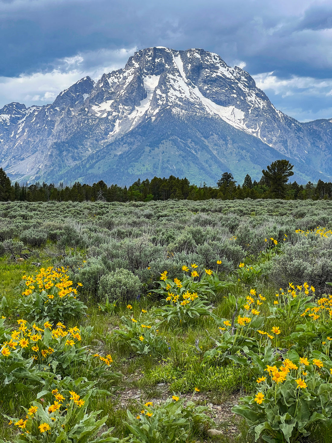
Glacier-capped mountain at Teton National Park, Wyoming.
Glaciers don’t automatically occur in cold places, because some of those places are deserts where there is too little snowfall for glaciers to form.
Pakistan with 7,253 known glaciers has more glacial ice than any other country outside the polar regions. The 39-mile-long Baltoro Glacier there is one of the world's longest alpine glaciers.
The United States has glaciers in Alaska, Washington state, Oregon, California, Wyoming, Colorado, and Nevada. Wrangell St. Elias National Park and Preserve in Alaska has the nation’s largest glacial system at 5,000 square miles. The Bagley Icefield there covers 127 miles and is up to 3,000 feet thick in some places.
Alaska has 664 named glaciers. There are 186 glaciers in Washington state. The 1980 eruption of Mount St. Helens destroyed nine of its 11 named glaciers. One new glacier has since formed in the caldera of the volcano.
Oregon has 35 named glaciers, and California has about 20, most of them in the Sierra Nevada Mountains.
In the Rocky Mountains, Colorado has 16 named glaciers and Montana has 60, with the largest number at Glacier National Park. Utah has no visible glaciers, although it has a buried glacier at Mt. Timpanogos. The largest glacier in the 48 lower states is Gannett Glacier in the remote Wind River Range in Wyoming. Wyoming has a total of 37 named glaciers, the majority of which are in the Wind River Mountains.
Canada has glaciers in Alberta, British Columbia, Yukon Territory, and Nunavut. Scientists have tracked the retreat of glaciers in these areas for decades.
Mount Rainier in Washington is an active volcano and the most glaciated mountain in the lower 48 states. These glaciers are the main water source for six major river systems.
What are Glaciers?
Glaciers, simply put, are ice. The name is a French word derived from the Latin word for ice, glaciēs. Glaciers form when snow falls in the mountains faster than it can melt. At high elevations where snow never melts, the snow piles up over time. The weight from the upper layers compresses the lower layers into solid ice over centuries.
The pileup puts the ice under tremendous pressure so that it flows over the bedrock on which it sits. When a glacier accumulates enough snow and ice to flow from the mountains to the sea, it is called a tidewater glacier. Glacier Bay National Park and Preserve has seven tidewater glaciers.
About 2 percent of all of the Earth’s water is trapped in glaciers.
Glaciers can be young or thousands of years old. The majority are remnants of massive ice sheets that covered the Earth in the Ice Age, which concluded more than 10,000 years ago. Glaciers form during cold periods in the Earth’s history and melt during warm ones.
Glaciologists measure the flow, fracture, and retreat of glaciers to study how much water enters the oceans from melting glaciers, because glacier water contributes to the global rise of sea levels.
As glaciers constantly move under their own weight, they carve crevasses and other rock features. Glaciers form only on land – they are not considered part of much thinner sea and lake ice.
Ninety-nine percent of glacial ice is contained in vast ice sheets known as "continental glaciers" in the polar regions. Continental glaciers cover nearly 5 million square miles, about 98 percent of Antarctica, and average 7,000 feet in thickness. Greenland and Patagonia also have huge continental glaciers.
Glacial ice is the largest reservoir of fresh water on Earth, holding about 69 percent of the world's fresh water. Many glaciers store water as ice during colder seasons and release it in the summer as meltwater, creating a vital water source for plants, animals and humans.
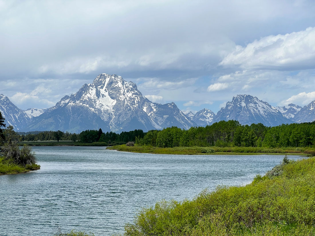
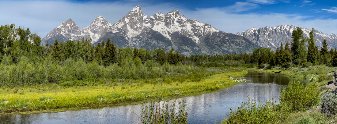
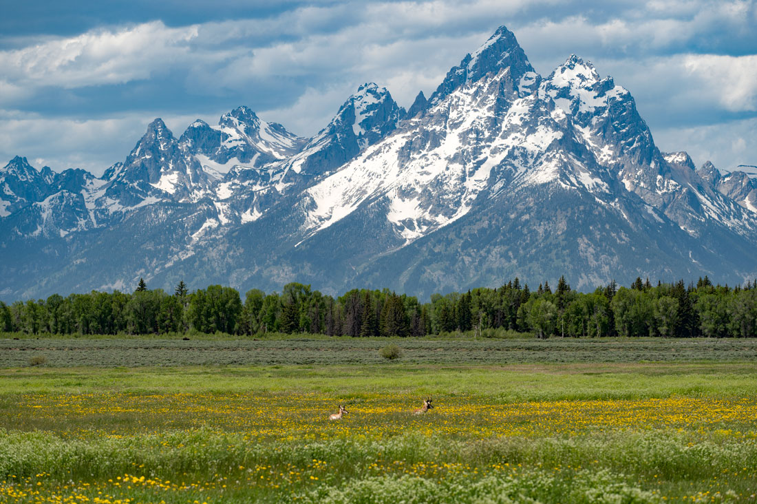
This river in Grand Teton National Park, Wyoming, is fed by meltwater from the park's glaciers. Below, antelope and wildflowers are among the fauna and flora that benefit from glacier meltwater.
Changes in the mass of glaciers are caused by changes in precipitation, mean temperature and cloud cover. These changes are among the most sensitive indicators of climate change and variations in sea level.
Glaciers that cover most of Antarctica and Greenland contain vast amounts of fresh water. If glaciers melted in both places, global sea levels would rise by 230 feet. Some sections of ice sheets called ice streams drain into ice shelves that extend into water. When ice reaches the sea, pieces break off. This is called calving, and it forms icebergs that make huge splashes when they hit the water.
There also are alpine glaciers on mountain slopes, valley glaciers, and ice caps, which are glaciers on top of mountains that cover less than 19,000 square miles.
Glaciers have different temperatures. Some are close to melting point and others are well below freezing. Cold ones are frozen to their underlying surface, while warm ones can slide on the earth’s surface. A single glacier can be both warmer and cold in different places.
Glaciers usually form in a depression between mountains that collects and compresses the snow that falls into it. The weight of the snow compacts it until the air is squeezed from it and turns it into ice. Glaciers often appear blue because water molecules absorb other colors more efficiently than blue, and because glaciers contain few air bubbles which can make ice look white.
A glacier fills a depression until it overflows and begins to move down a mountain’s slope because of gravity and pressure. The snow accumulates at the top of a glacier and melts at the lower end.
Glaciers are brittle until they are more than 160 feet thick. Then the pressure on the lower layers causes them to flow in a plastic manner. When stress from a higher layer of ice exceeds its ability to bond with a lower layer, the two layers move at different rates. Friction also makes the bottom layer move more slowly.
Glaciers can slide over terrain on a layer of water in temperate regions.
Glaciers move at greatly varying speeds, but the mean is typically about three feet per day. Some can move as fast as 70-100 feet per day, while others don’t move at all. The speed of glacial movement is affected by the thickness of the ice, the slope a glacier is on, snowfall, temperature and meltwater, and other factors.
Some glaciers move in surges, accelerating because of meltwater pooling at their base, bedrock failing underneath them, or accumulated mass. They then return to their normal speed. Increased temperatures and pressure can cause a glacier to move up to 300 feet per day.
Glacial earthquakes are caused by rapid movements of glaciers. The number of glacial earthquakes in Greenland increased during the 1990s and 2000s.
Alternating wave crests and valleys on the surface of glaciers appear as dark and light bands of ice. The width of one dark and one light band generally equals a glacier’s annual movement.
When glaciers melt, they leave behind a bason-shaped depression that can be as large as the Great Lakes.
When a glacier moves over bedrock, the glacier lifts rocks and boulders into the ice as the ice penetrates fractures in the rock and freezes and expands. The expansion loosens and lifts the rock. Rock of all sizes becomes part of the load that a glacier carries. If a retreating glacier accumulates enough rock, it will become a rock glacier, like Timpanogos Glacier in Utah.
Ice and rock fragments sliding over bedrock polish the bedrock. This carves steep valley walls and mountain slopes in alpine locations, causing avalanches and rock slides that in turn add more rock to the glacier. This creates glacial striations that scientists map to determine the direction of a glacier’s movement.
The amount of erosion caused by a glacier varies depending on the glacier’s speed, thickness, shape, size, and the hardness of the rock fragments at the bottom of the glacier. The permeability of the bedrock under the glacier and the thermal conditions at the glacier’s base also can affect erosion.
Glaciers in lower latitudes tend to be much more erosive than those in high latitudes because they have more meltwater. Glaciers move rocks long distances and deposit them in areas where the indigenous rock is vastly different. Long after the glaciers deposit the rocks and retreat, people see the rocks and question how they got to those locations.
Glaciers form moraines, or embankments and rims, on their margins by depositing rock materials there. After a glacier retreats, the moraines remain. They are a mixture of rocks, gravel, boulders, and powdery sediments. Some moraines act as dams behind which lakes form.
Glaciers also deposit canoe-shaped hills called drumlins, and cause V-shaped valleys to widen and deepen into U shapes. Glaciers can form what are called cirques, half-open steep-sided hollows. When two cirques form back to back with a narrow ridge between them, the structure can result in a mountain pass.
Fine sediments carried by water melting from a glacier create alluvial plains. Large ice blocks from glaciers can become trapped in this alluvial sediment and produce water-filled depressions when they melt.
When a glacier shrinks below a certain point, it stops flowing and becomes stationary. Some deposits of earth that remain after the retreat of a glacier form into hills or terraces in valleys.
Since the Little Ice Age ended in about 1850, glaciers have retreated significantly.
Wind also can blow sediments from a glacier many miles away and deposit them in layers hundreds of feet deep.
Glaciers are a valuable way to track climate change over long periods of time, because they can be hundreds of thousands of years old. Scientists take ice cores from them in which are trapped evidence of climate change and its causes.
NASA also uses a Landsat satellite to record images of glaciers in Alaska, Greenland, and Antarctica. This research has found that glacial retreat has increased substantially since 2000.
When glaciers melt, they cause a rise in sea level, which increases coastal erosion. They also contribute to storm surges as warming air and ocean temperatures create more frequent and intense hurricanes and typhoons.
The weight of large ice sheets or glaciers depresses the crust of the Earth into its mantle. When a glacier rebounds, the mantle flows back, pushing the crust back up. This is occurring in Scandinavia and the Great Lakes region in North America. When this occurs rapidly, it causes faulting in previously compressed rock.
Many glaciers are covered by a layer of rocks that insulates the ice.
Glacial retreat is affecting a number of national parks and forests in the United States. It is unclear the role of climate change in the recent unprecedented flooding at Yellowstone National Park that prompted the evacuation of thousands of people and the park’s temporary closure, but scientists believe that it probably was just the latest in a series of climate change-related weather events.
Climate change is increasing not just the number of unpredictable weather events, but changing migratory patterns, causing ponds and creeks to dry up, and causing life forms that depend on those water sources to die.
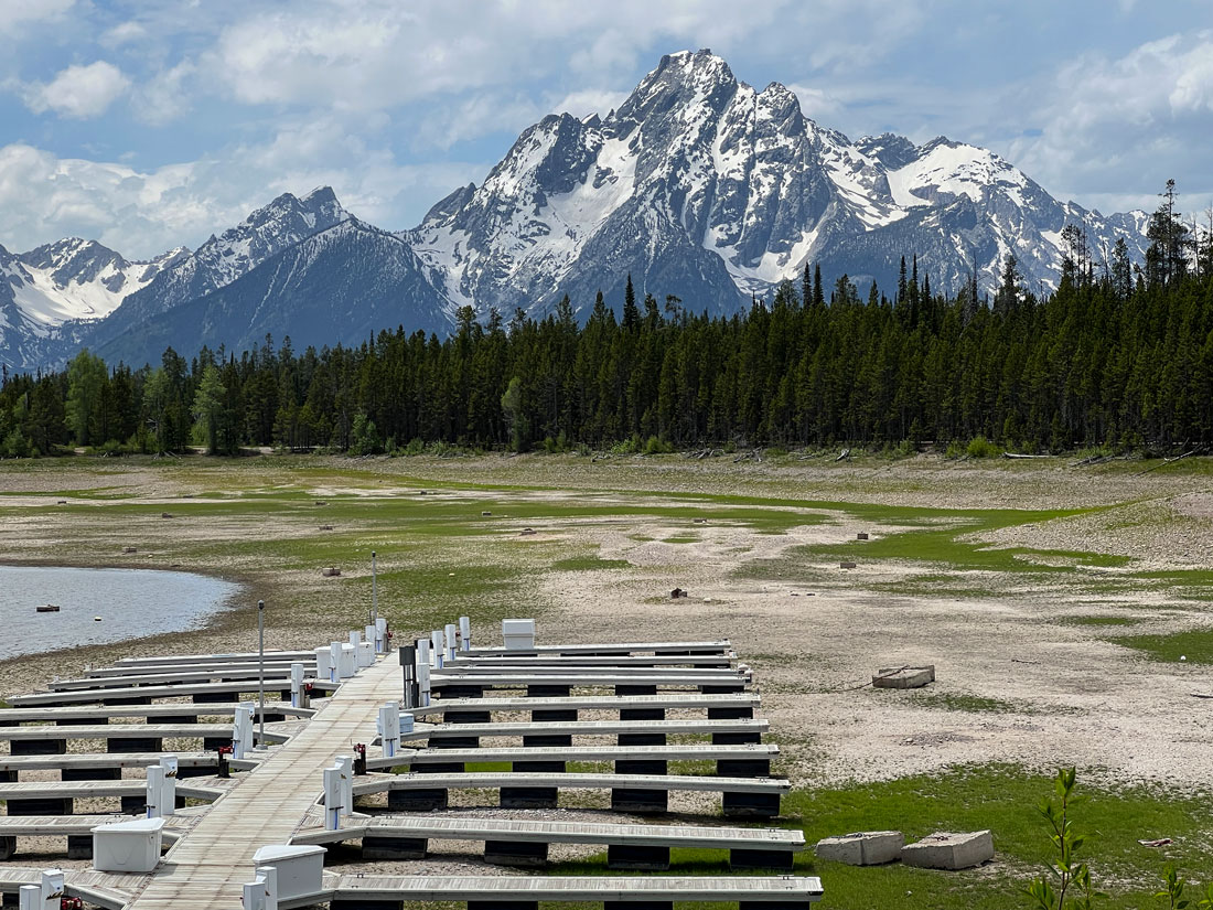
Jackson Lake in Grand Teton National Park, Wyoming, is at historic low levels because meltwater that collects in it was diverted from it to water crops during a recent drought.
Scientists believe that in the coming years, destruction related to climate change will occur in nearly all of the 423 national parks. Disappearing glaciers are just one of among many results, which include fires, floods, rising seas, and heat waves.
Because many national parks are at high elevations, they are disproportionately affected by global warming as temperatures in the parks are rising at twice the rate of the country as a whole.
Trails are being relocated away from flood zones. Bull trout are being moved to lower-temperature waters, and forests are being thinned to reduce the risk of wildfire. Grasslands are expanding, forests are drying, more invasive plants are entering the parks, and there are more shallow and warmer waterways.
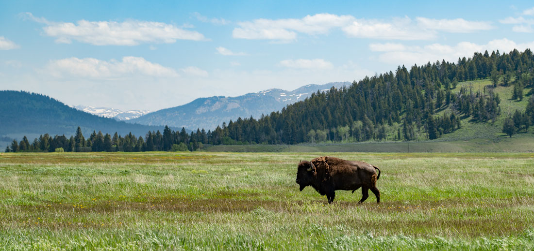
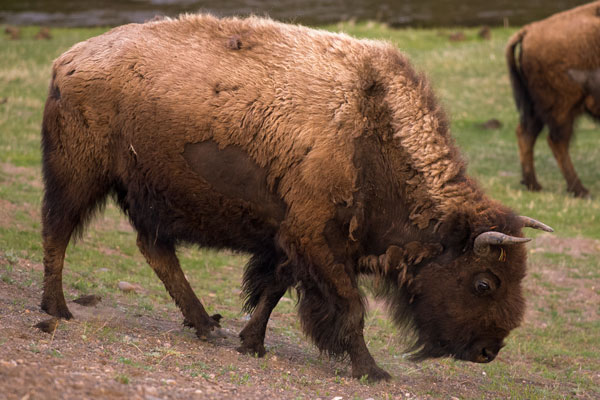
Animals such as this bison are part of the ecosystem at Grand Teton National Park that is fed by glacial meltwater.
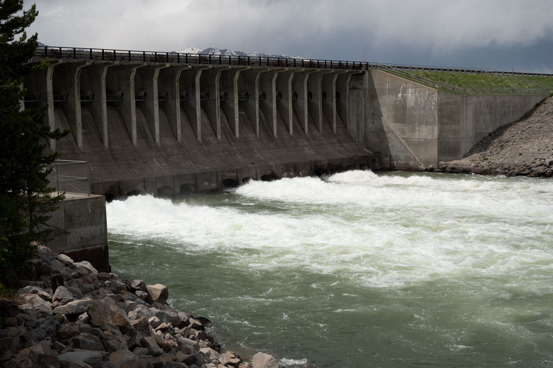
Jackson Dam in Grand Teton National Park is fed by meltwater from glaciers.
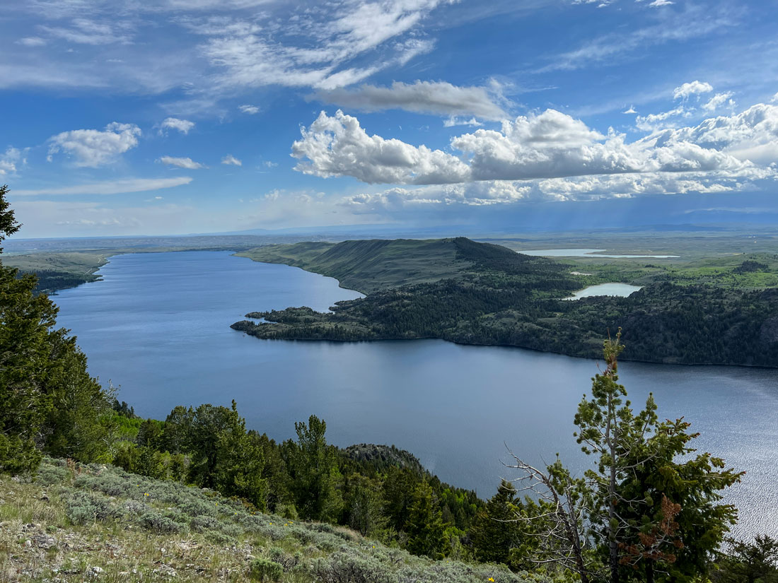
Glacial lakes like this one are among America's most heavily used recreational spots.
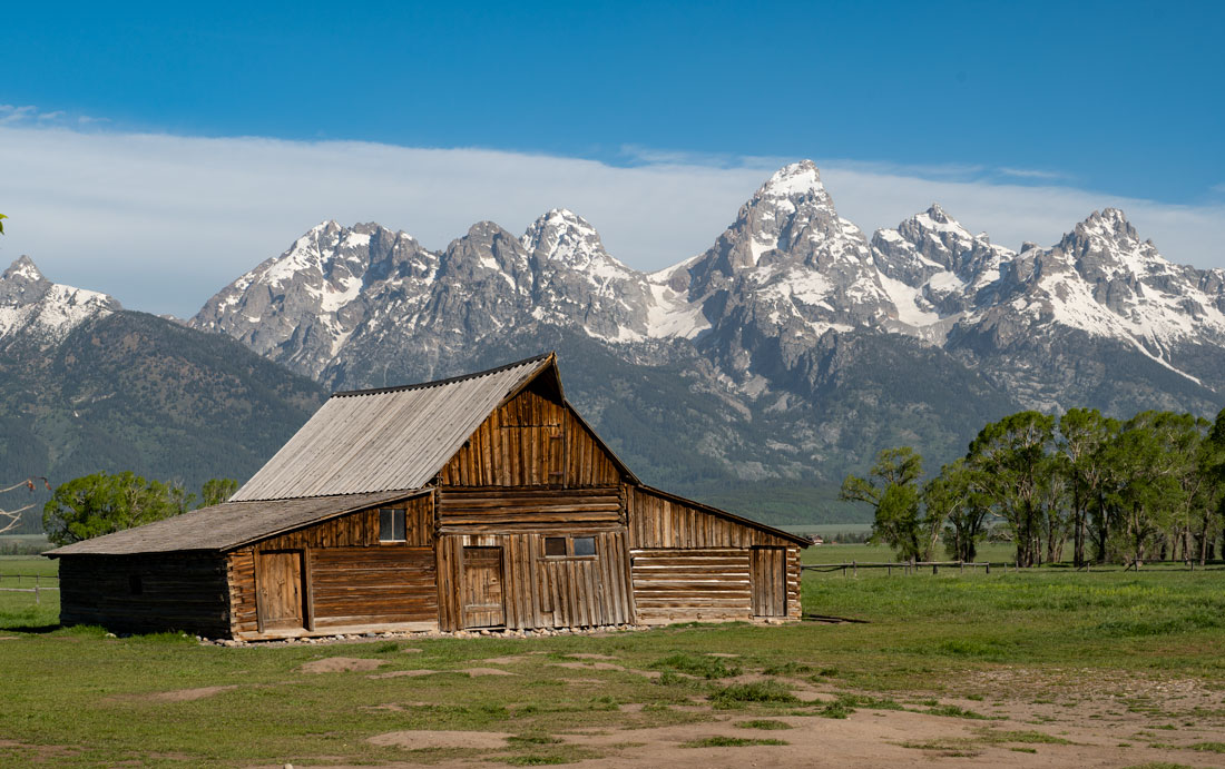
This iconic scene of an old barn and glacial mountains at Grand Teton National Park is part of America's heritage.
Check out these related items
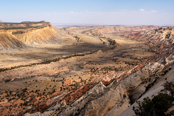
The Earth’s Massive Wrinkle
Capitol Reef National Park encompasses a 100-mile-long fold in the Earth in which 270 million years of history is captured.
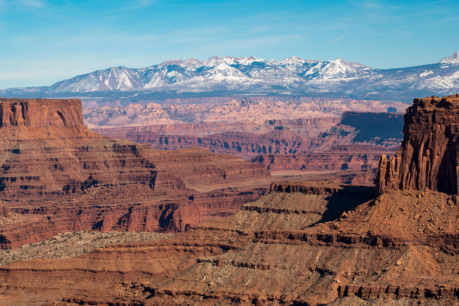
How Mountains Move
Mountains grow, shrink and change shape both slowly and suddenly, and human behavior is changing them in alarming ways.
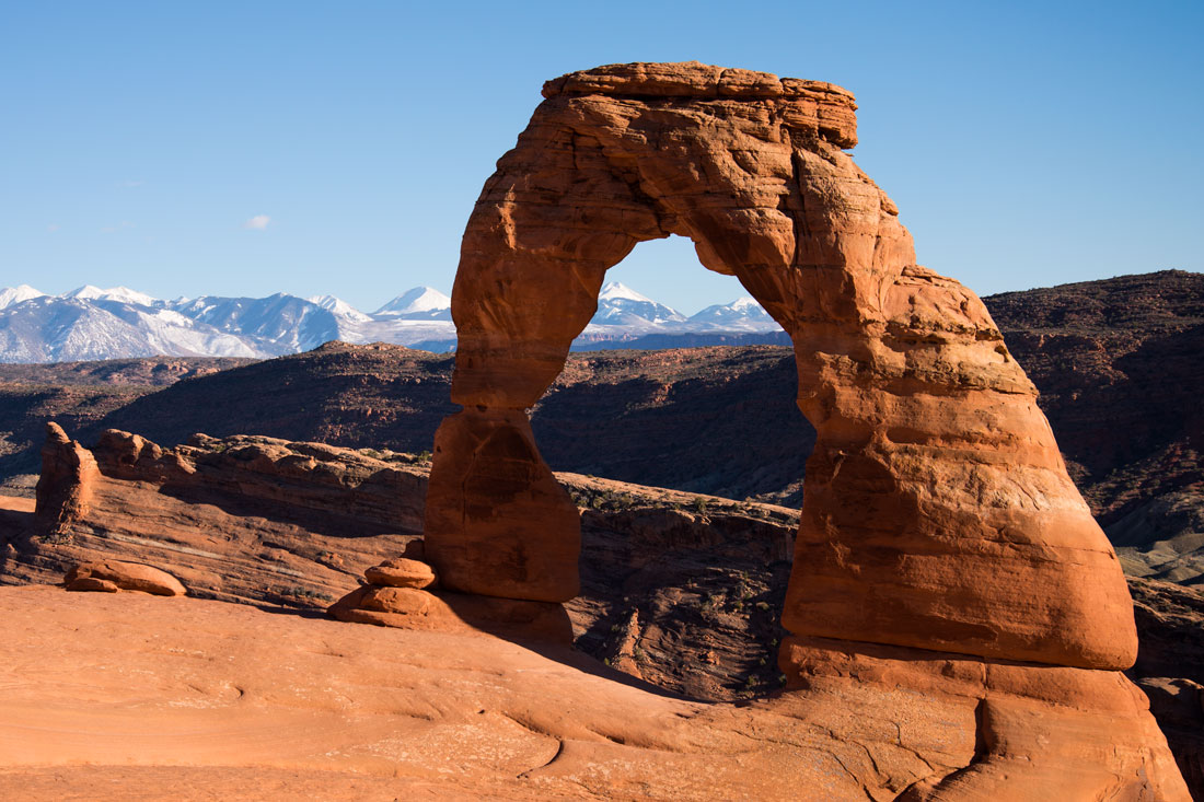
For the Love of Arches
Arches National Park in southeastern Utah is being loved to death, and the park service is scrambling to manage the attention.
Yellowstone Roars Back To Life
As the pandemic wanes in the United States, the crowds have returned to Yellowstone National Park.